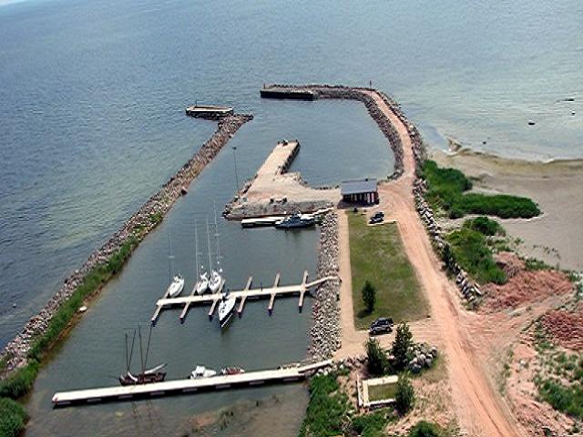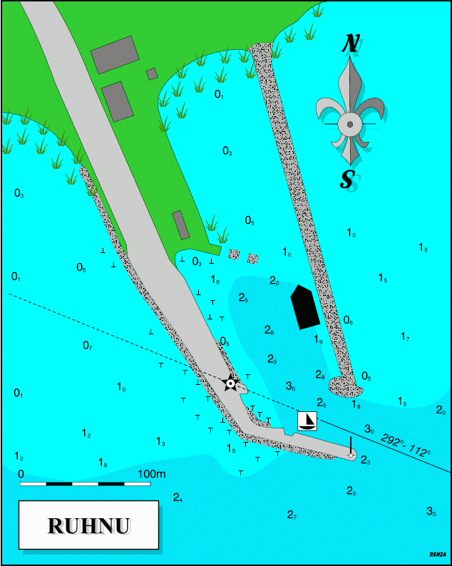
Passport control and customs.
Lane marker lights will be lit 7 a.m. - 12 p.m. Entry not advisable at night or with NE, E, or SE winds.
Depth at mooring 2 m.
Village with store, medical service and post office, 4 km.
Until 1944 this isolated island in the Gulf of Riga was populated by Estonian Swedes. First mention of the Swedish community on the island in literary sources appeared 1341, though it is believed that their ancestors arrived from Scandinavia during Viking times.
Before the war, there were close to 300 people on the islandnow only 60. There is beautiful, wild nature and many sights and sites renowned for their uniqueness (Ruhnu wooden church 1644, lighthouse 1877).
AC 2215

Mob. +372 509 6239
Bathing place
Bicycle rent
Cafe/Bar 3000 m
Drinking water
Electricity
Food store 3000 m
Hospital/doctor 3000 m
Internet
Passport control
Post office 3000 m
Refuse disposal
Sauna
Shower
Special attractions 3000 m
Telephone
Toilet